Main Range National Park Walking Tracks

Main Range National Park view from Rainforest Circuit

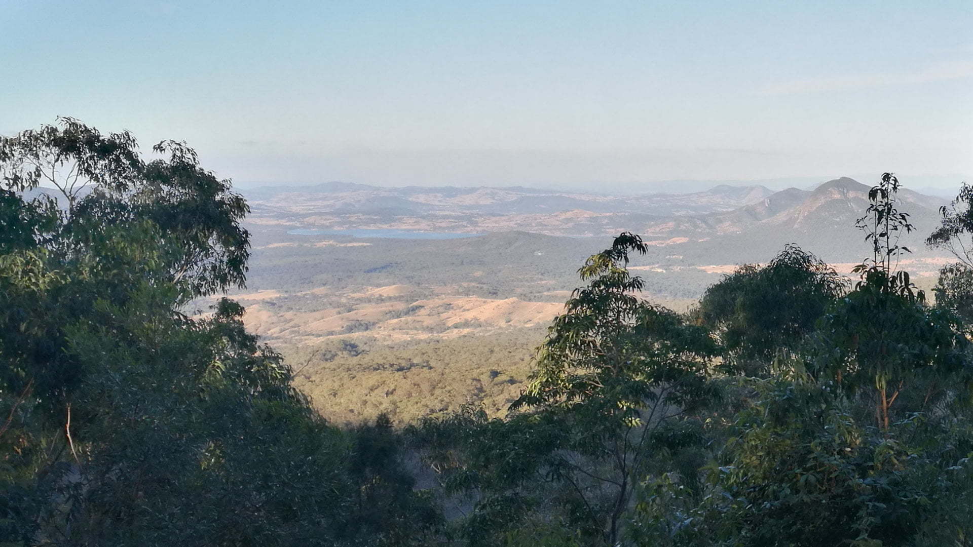
The Main Range National Park Walking Tracks is the main part of the Cunningham’s Gap section of the Main Range National Park. It is between Spicers Gap  to the south and Goomburra Section  to the north. Queen Mary Falls  is the fourth section of the Main Range National Park. The walking tracks are mainly class … Read more

Main Range National Park Picnic Area

Main Range National Park Picnic Area, open grass with picnic tables and bush behind

The Main Range National Park Picnic Area is one of two brown sign destinations at Cunninghams Gap section of the Main Range National Park. The other sections are Goomburra Section , Spicers Gap , and Queen Mary Falls . The Picnic Area is separated from the Walking Tracks at Cunninghams Gap, likely because there is … Read more

Main Range National Park Goomburra Section

Cascade Falls at Goomburra Section, water flowing into waterhole

Part of the Great Dividing Range, Goomburra Section provides spectacular walks and views through the rugged mountain area and two camping grounds. Goomburra Section is the most northern of 4 main locations of the Main Range National Park. The other sections include Queen Mary Falls  at the southern end and Spicers Gap  and Cunninghams Gap in the middle. The … Read more

Governors Chair Lookout

View from Governors Chair Lookout at Spicers Gap

Governors Chair Lookout is perched at the eastern side of the Great Dividing Range looking over the Fassifern Valley. Across the valley, various mountain peaks can be seen. Mt Walker, Mt Edwards, Mt French , Mt Greville, Mt Alford, Mt Moon, Mt Maroon, and Mt Toowoona are all visible on the horizon. Lake Moogerah can be seen … Read more

Spicers Gap

View from Spicers Gap

Spicers Gap is a pass over the Great Dividing Range, found in 1847 by a stockman as an easier route to Cunninghams Gap which proved to be too steep for regular travel. A major road through Spicers Gap was built in the late 1850s through to the mid-1860s, though its use declined not long afterwards … Read more

Moffatt Park

Moffatt Park playground

Moffatt Park is a small playground park at Aratula. It has a fenced-in playground and a picnic table beside it. Aratula is a common stop along Cunningham Hwy with the bakery near Elizabeth St and the public toilets across the road, however, there is nothing to entertain the kids other than some goodies from the bakery. … Read more

Pioneer Graves

Pioneer Graves site

The Pioneer Graves are three graves of pioneers in the Fassifern area, Alexander Balbi, Sarah Campbell Mercer, and Anders Nielsen. A monument in front of the graves provides information on the pioneers and of the area’s history. The front of the monument reads: To Honour the Pioneers of the Past Who Built the Prosperous Present … Read more

Historical Museum

Templin Historical Village Museum

Templin Historical Village Museum is comprised of numerous buildings showcasing local memorabilia and artifacts. The collection covers farming history, war memorabilia, cameras, 1900s fashion, medical memorabilia, and more. The village once the Templin State School, closing in 1970 when the number of enrollments declined. Ownership was handed over to Boonah Shire Council and taken care of … Read more

Historical Museum

The Harrisville Museum is on the main street of Harrisville, south of Ipswich. The main building “Elanda” was once the Mackaway family home and became part of the Harrisville Museum in 1970. At the entrance of the museum is a Stiger Vortex Rain Gun, a feature item of their collection. A cone-shaped barrel, the gun … Read more

Historical Marker

Historical Marker, Normanby Plains Trigonometrical Baseline

On the way to Harrisville from Warrill View the Historical Marker brown sign appears on a straight section of road. The sign is for a memorial cairn on the side of the road, which otherwise doesn’t stand out as significant from the agricultural land is sits beside. The memorial was erected May 1988 in honour of … Read more