The Black Stump was a stump established as an astro station in 1886 for surveying the region. Stumps were used by surveyors instead of using a set of legs because it gave more stability for heavy theodolites to take longitude and latitude observations.
The astro station was used as part of the survey to fix the position of principal towns from Brisbane via Roma, Charleville, and Blackall. It was designed to establish the points of important centres with which survey work for the whole colony could be connected and enable the mapping of Queensland on a more accurate basis.
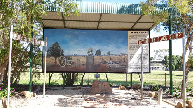
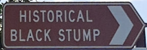
At the time, it was considered that country to the west of Blackall was “beyond the black stump”. Blackall isn’t the only town that lays claim to the term, but it has the brown signs to support its case. Not only does it have the brown sign for “Historical Black Stump”, but it also has “This side of the black stump” ![]()
![]() , and “Beyond the black stump”
, and “Beyond the black stump” ![]()
![]() on either side of the black stump.
on either side of the black stump.
The original stump is long gone, burnt out some time ago. In its place is a piece of petrified wood. A plaque in front of it shows the black stump monument was completed by the Student Council in conjunction with the School Community, Blackall Tourist Association, and the Blackall Shire Council as a Bicentennial project.
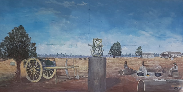
A mural depicting surveying apparatus on a stump by local artist Bob Wilson was made in 1993 and restored by the artist in 2018. The mural describes the building on the left was a horse stable, then became the first school in Blackall, and the large coolibah tree centre can still be seen in the school grounds today.