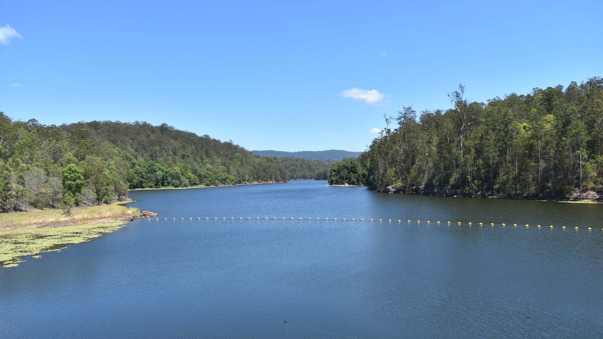
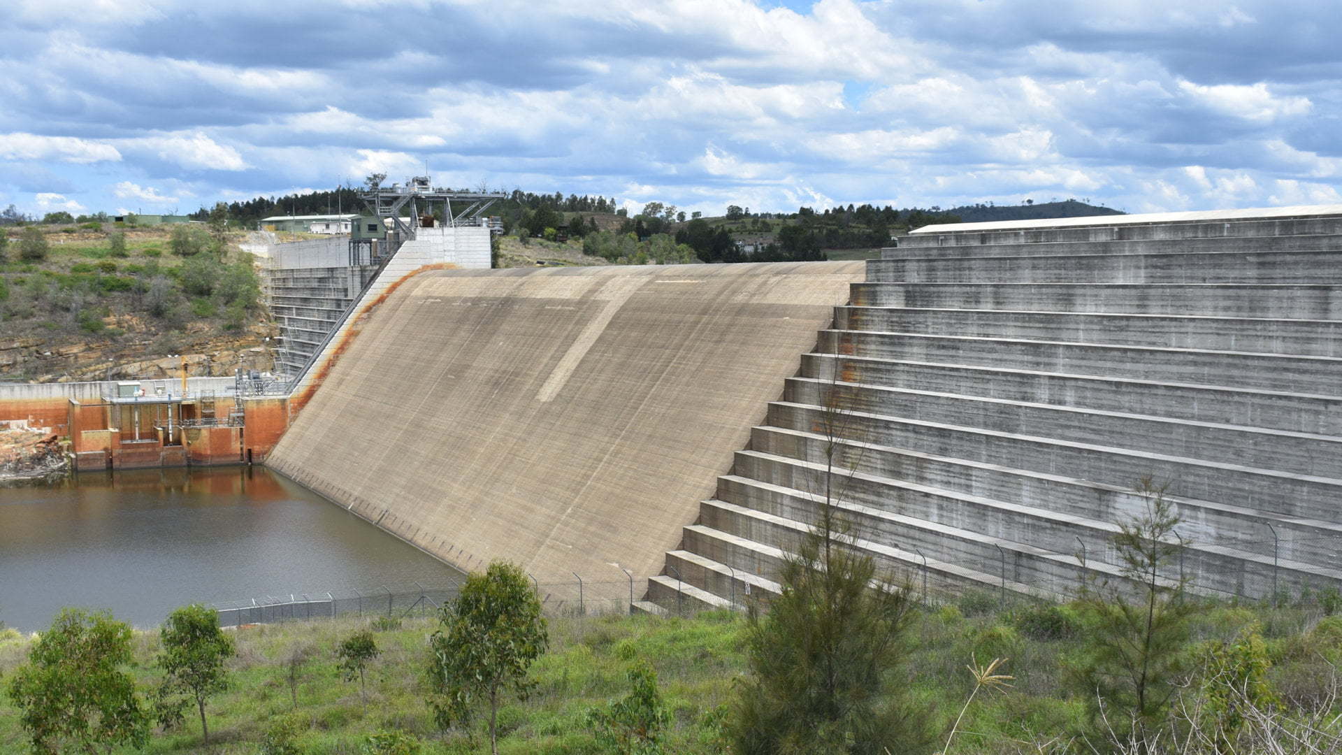
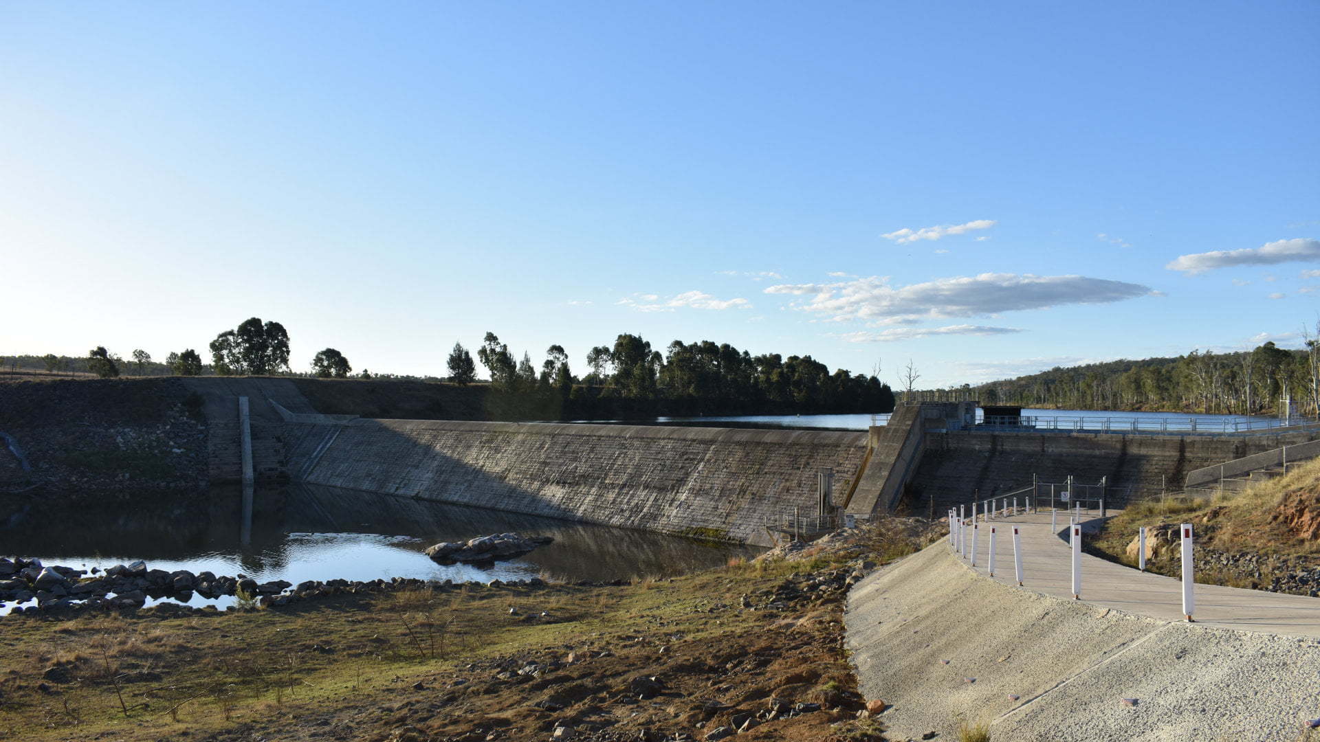
Lake Argyle (Ord Dam)
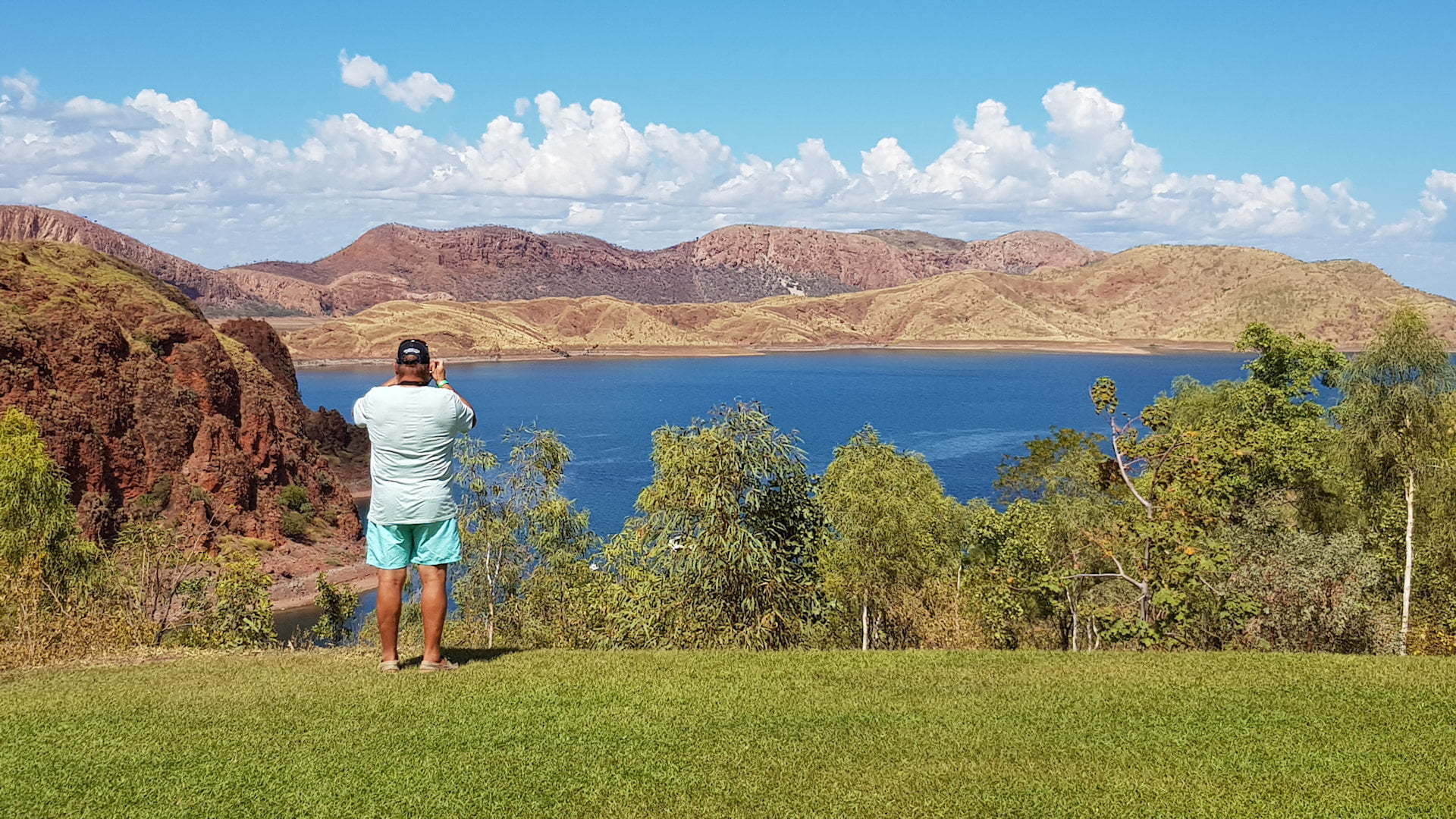
Lake Argyle in the Kimberleys is the second largest freshwater reservoir on the Ord River. It is part of the Ord River Irrigation Scheme and keeps Lake Kununurra at a constant level, downstream on the Ord River. The Ord River then flows into the Scambridge Gulf, one of five rivers seen at the Five Rivers … Read more