


Clear Mountain is a suburb in the Moreton Bay Region and a high mountain peak bordering between Cedar Creek to the south and Lake Samsonvale to the north.
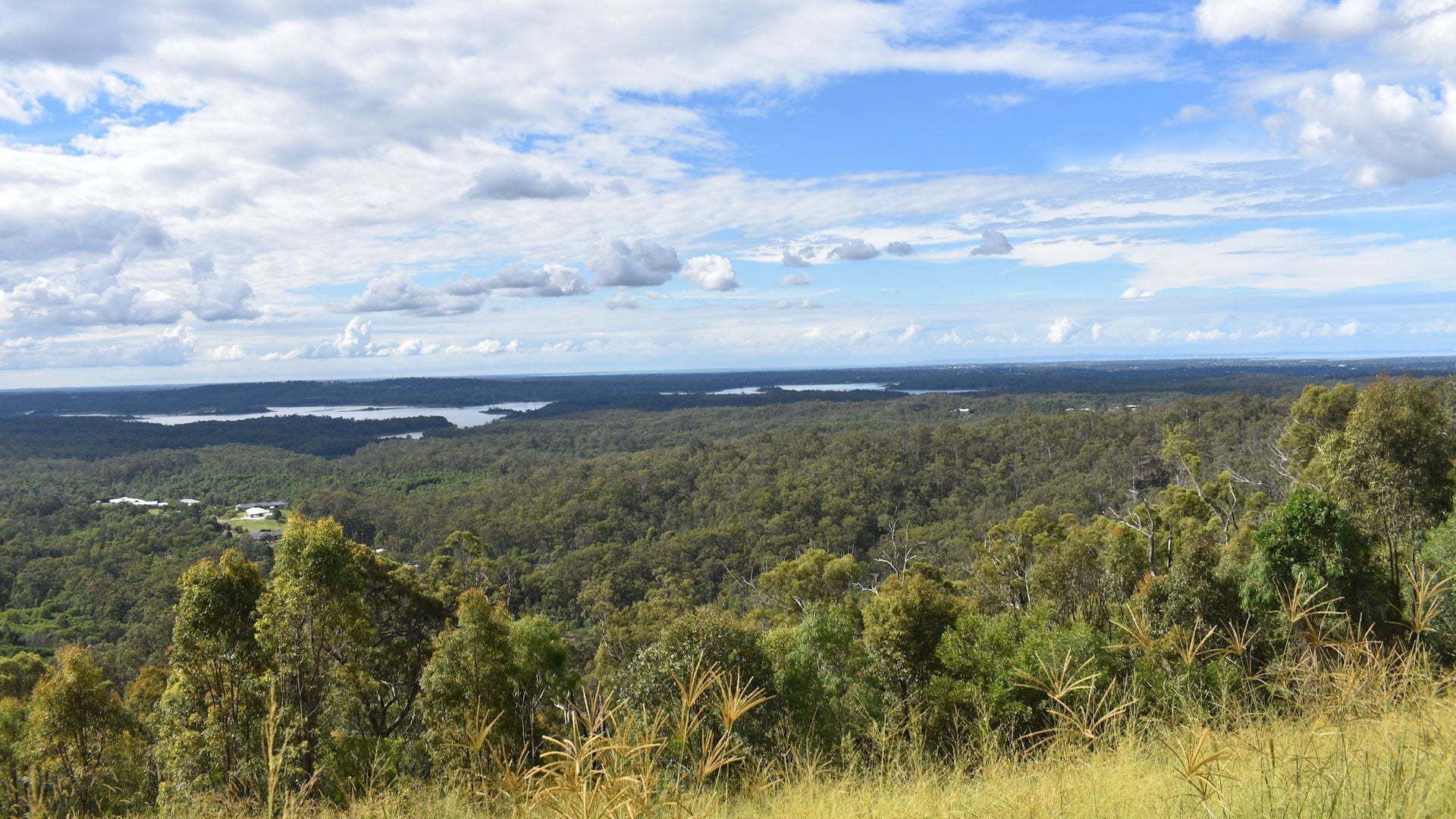
The high mountain provides some stunning views over Brisbane to the south-east and of Lake Samsonvale and out to Moreton Bay in the distance to the north-east and east.
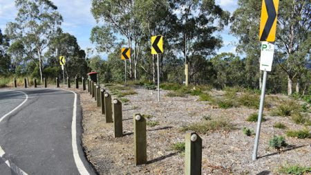
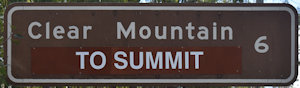
The summit that the brown signs refer to is a lookout that once had a good spot to stop and have views to the city. The spot is almost gone and the views have been ruined with fencing and new residential development interrupting the views.
The summit stop has been improved to a degree, instead of a dirt vacant spot on the side of the road it now has an Australian native garden, sparsely populated with young plants, and a parking bay with enough room for about 2-3 vehicles. The brick fence has been changed to cyclone wire fencing that doesn’t block the view as much.
A large wheelie-bin style rubbish bin is a remnant of what used to be there, the bin just doesn’t make sense with what is there now. The garden area doesn’t even have any provision to hop out of your vehicle, other to stand next to it. There is a sign with warnings of trespassing on the fence and the entrance to the residential area.
The Clear Mountain Lodge across the road (entrance a few metres west of the summit parking spot) offers better views and in more directions, but you will need to be a patron to enjoy the views.
Travel east of the summit along Clear Mountain Rd and you will come across some spots with some stunning views east and north-east. You may need to find somewhere to park and walk up to the good viewing spots as there are yellow lines along most of the roadway where the views are. The feature photo is from along here, not from the summit as it is so much more beautiful.
It is disappointing to find a brown sign that leads to somewhere that really isn’t a destination anymore. There are plenty of spots that would be great alternatives to offer views from Clear Mountain so everyone can enjoy the stunning vistas it has to offer. Hopefully one day it will be recognised and the signs updated with a new destination for Clear Mountain.
To get there:
From South Pine Road in Eatons Hill, turn into Eatons Crossing Rd. Follow Eatons Crossing Rd for 4.9km and turn right into Clear Mountain Rd at the brown sign for Clear Mountain shortly before it. The sign is badly faded and almost looks like it may be green, but it is a brown sign. Follow Clear Mountain Rd for 5.5km with the parking bays for the summit on the left, just at the start of a tight right hand bend. There is no sign at Clear Mountain Summit itself.
From Samford, head north on Main St becoming Mount Samford Rd. Crossing over Samford Creek, continue for 10km and turn right into Winn Rd. Follow Winn Rd for 3.1km and turn right into Clear Mountain Rd. Follow Clear Mountain Rd for 3.3km to reach the summit on the right, just on a left-hand bend. There is no sign at Clear Mountain Summit itself and you won’t be able to easily get to the other side of the road so you will need to find a safe spot to turn around after passing the summit. It is along Clear Mountain Rd prior to reaching the summit where you will come across views looking towards Lake Samsonvale and east towards Moreton Bay.
Cost: Free
Hours: Anytime
Toilets: No
Bins: Yes
Tables: No
Seating: No
Water: No
Food: No
Wheelchair accessible: No
Pets: Yes, on leash
BBQ: No
Playground: No
