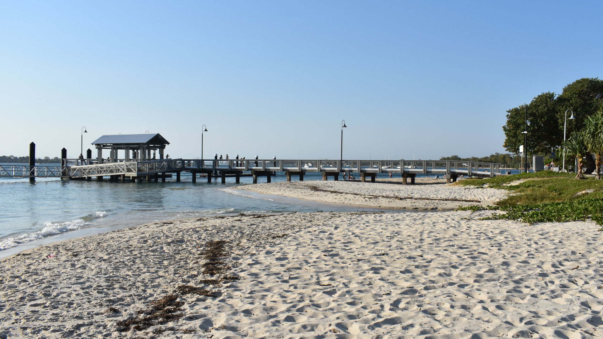
Bongaree Jetty is a popular spot to enjoy the calmer waters of Bongaree Beach, BBQ picnics in the park, an ice-cream from Scoopy’s, and from the jetty, jumping into the water or trying your luck with some fishing.
Bongaree is located a short drive from the bridge when first crossing the bridge onto Bribie Island, with the jetty is the centre piece of the park around it.

The jetty attracts a lot of people with kids often found jumping part way off the jetty into the water below. At the end of the jetty and along the boat pontoons there is always someone with a line in the water. In the warmer months you will find people around the jetty well after sunset.
On either side of the jetty are narrow sandy beaches, although there is a larger sandy spot next to the jetty itself with a bit more room to spread out and play in the sand.

The park has lots of grassy space to lay out a picnic rug and there are a number of sheltered picnic tables and free BBQs to cook your own picnic food.
If you don’t want to cook, are takeaway shops and cafes within easy walking distance. A favourite for us has always been Scoopy’s near the jetty. They have a selection of breakfasts, burgers, fish and chips and kids meals, but we have always gone for the ice-cream, a great treat on a hot day (or any other day).

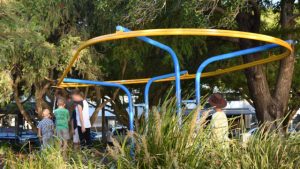
On the other side of Scoopy’s is a playground with things to climb, slide and swing. A different take on the always popular flying fox runs on a looped rail.
The main part of the park around the Bongaree Jetty is about 200m along the shore. The park extends further for about 600-700m from a boat ramp at the northern end, with parking places for vehicles with a trailer, down to the Bribie Island Seaside Museum at the southern end.
If you want a longer walk along the beach, head south and the beach continues all the way around the bottom of Bribie Island to Woorim Surf Beach ![]() , passing by Buckley’s Hole
, passing by Buckley’s Hole ![]() and Red Beach
and Red Beach ![]() along the way.
along the way.

The first jetty was built in 1912 to support a tourist resort on the island opened the year before. The tourist spot became very popular. The SS Koopa had a 1,200 passenger capacity and up to seven ships were tied to the jetty with three walkways off the head of the jetty.
The SS Doomba operated during the 1920s and 1930s with a capacity over 1,500 passengers. Both the SS Doomba and the SS Koopa were commissioned by the Royal Australian Navy during WWII. The SS Koopa returned to public service and continued operation to Bongaree Jetty until 1961 before the bridge opened in 1963.
The great depression and the opening of
To Get There

From the Bribie Island Visitor Information Centre, head east towards the bridge (the exit furthest away from the centre). At the roundabout, head straight through and get into the left lane to turn left into Welsby Pde with a brown sign for Bongaree Recreational Precinct. Follow Welsby Pde for 2.2km to be at the Bongaree Jetty area.
On the Bruce Hwy north of Brisbane, take the exit to Bribie Island (exit 152). If heading north, after taking the exit, continue straight ahead under the overpass then immediately left to head to Bribie Island. If heading south, after taking the exit, continue straight ahead under the overpass. The exit follows along the highway for about 1km. Keep to the left to head to Bribie Island. Follow along Bribie Island Rd for 18km to the bridge across to Bribie Island. Continue over the bridge and at the roundabout go right around to head back towards the bridge (forth exit). Get into the left lane and turn left into Welsby Pde with a brown sign for Bongaree. Follow Welsby Pde for 2.2km to be at the Bongaree Jetty area.
Parking is scattered rather than a single parking area. Some parking is along Wesley Pde, a small parking area near Scoopy’s, and on the other side there is a couple of parking areas accessed from First Avenue. There is also parking at the northern end at the boat ramp, and at the southern end near the museum.


