


The Kyogle Visitor Information Centre is on the main road through Kyogle on the Summerland Way at the corner of Anzac Ave.
The tourist information centre is open every day and operated by knowledgeable people of the Kyogle and the surrounding areas.
If you happen to come by out of opening hours, there are information boards at the front of the building, including details about the Rainforest Way and the Lions Road.
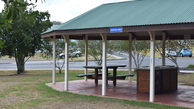
The main entrance is on Summerland Way, however, behind the building is a great park with free BBQs and covered picnic tables. It is accessed from the side road, Anzac Drive, with plenty of parking head down the side road to the park where there is lots of parking.
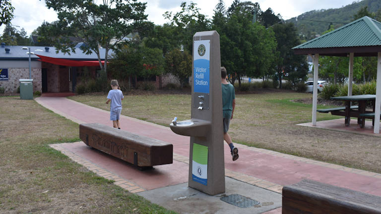
There is no playground but there is plenty of grassed open space, in front of an open-air stage area, for kids to run around.
Address: Cnr Summerland Way and Anzac Dr, Kyogle, New South Wales
Website: https://www.visitkyogle.com.au/
Phone: 02 6632 2700
Email: visitkyogle@kyogle.nsw.gov.au
Nearby Brown Signs
Antarctic Beech Picnic Area – in the Border Ranges National Park in NSW, a great spot to stop for lunch with picnic tables, wood BBQ, and toilets
Border Ranges National Park – a rainforest park in New South Wales on the rim of an ancient volcano, adjoining the Lamington National Park in Queensland
Brindle Creek – a small picnic area in the Border Ranges National Park with walks along Brindle Creek, Helmholtzia Loop Walk, and the Red Cedar Walk
Brisbane via Lions Road – Lions Road was constructed by the Kyogle and Beaudesert Lions clubs to provide a link between Kyogle and Rathdowney
Iron Pot Rest Area – Iron Pot Creek campground is in the Toonumbar National Park in northern New South Wales, with picnic tables, toilets, and a central shelter with wood BBQ
Murray Scrub Lookout – within Toonumbar National Park and looks over the Murray Scrub subtropical rainforest, part of the Gondwana Rainforest
Murray Scrub Walk – Murray Scrub walking track is a 5.5km grade 3 walk through subtropical rainforest, in Toonumbar National Park in New South Wales
Sheepstation Creek – Sheepstation Creek Campgrounds is the largest of two campgrounds in Border Ranges National Park, with sites for tents, camper trailers, and caravans
Sherwood Lookout – Sherwood Lookout picnic area and lookout is in Toonumbar National Park with views to the north and of Mt Lindsay on the border of New South Wales and Queensland
The Pinnacle – an outstretch of rock into the caldera of the ancient Tweed Volcano, 1000 metres above the valley it has the best views at the Border Ranges
Toonumbar Dam – west of Kyogle in the Richmond Range, the dam supplies water to towns and farmers along the Iron Pot & Eden Creeks, with fishing at Bells Bay Campground
Toonumbar National Park – a world heritage listed Gondwana rainforest, west of Kyogle on the northern coastal region of NSW
Nearby Big Things
The Big Turkey – a statue of a turkey at the southern end of Kyogle
To Get There
The Kyogle Visitor Information Centre is on the main road through Kyogle, Summerland Way, on the corner of Anzac Dr.
If heading north from Casino, when entering Kyogle the visitor centre is 2.6km on the left with Anzac Dr just before it.
If heading south from Wiangaree, after going under the railway line when entering Kyogle the visitor centre is 400m on the right with Anzac Dr just after it.

